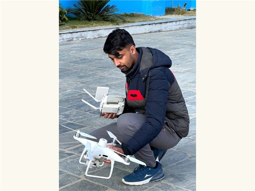
Research & Drone Photogrammetry
Capture and process aerial data to generate accurate 3D infrastructure models — backed by rigorous research and clear technical documentation.
Experience
4+ RolesProjects Delivered
18+Hello! I Am
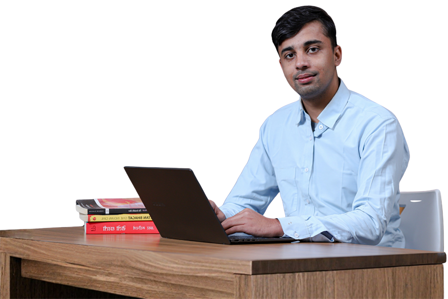
A Civil Engineering professional and Research Assistant at RIU, specialising in drone photogrammetry, structural design, geospatial mapping, BOQ estimation, and modern web development — based in Kathmandu, Nepal.
Capture and process aerial data to generate accurate 3D infrastructure models — backed by rigorous research and clear technical documentation.
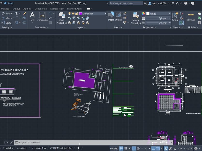
Full estimation workflow — quantity takeoff, BOQ preparation, rate analysis, and independent cost verification for large infrastructure projects.
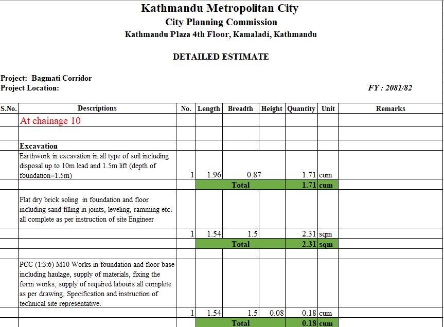
Hands-on involvement on large-scale government infrastructure — Bagmati & Jadibuti corridors — covering planning, coordination, and site execution.
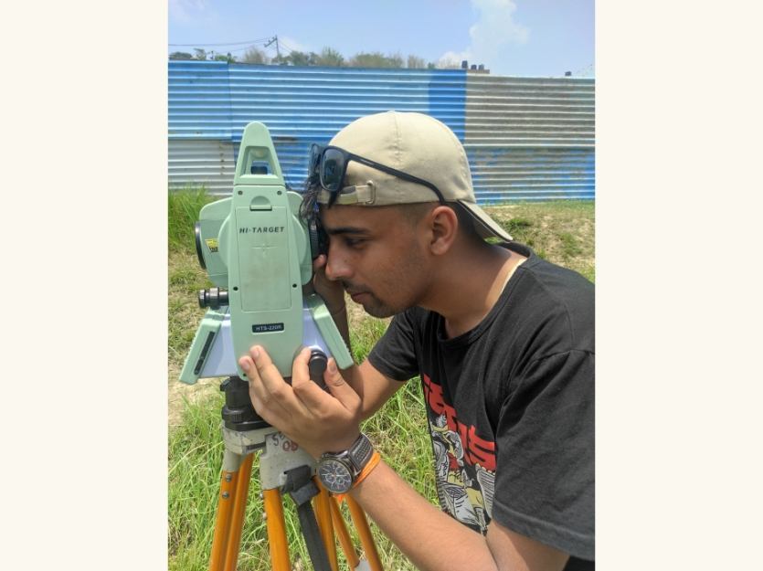
On-site measurements, topographic surveys, and precision data collection using engineering instruments — translating field observations into technical data.
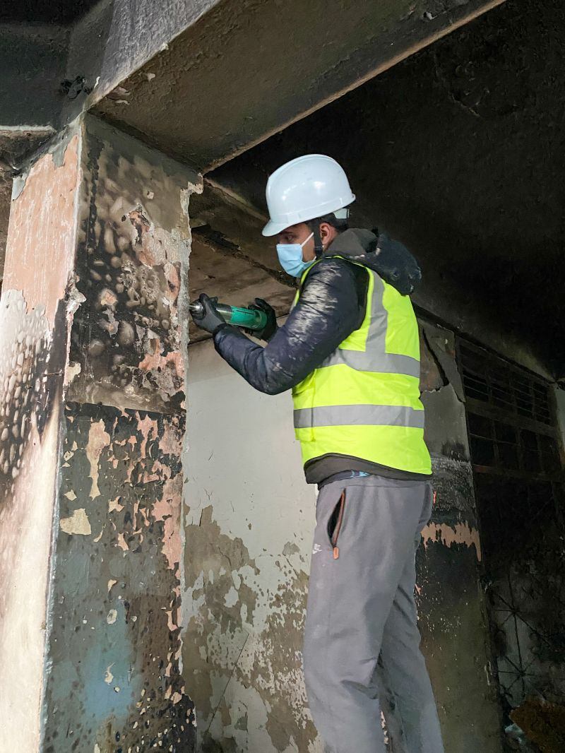
Site inspections for structural safety evaluation including post-damage assessment — identifying vulnerabilities and informing rehabilitation decisions.
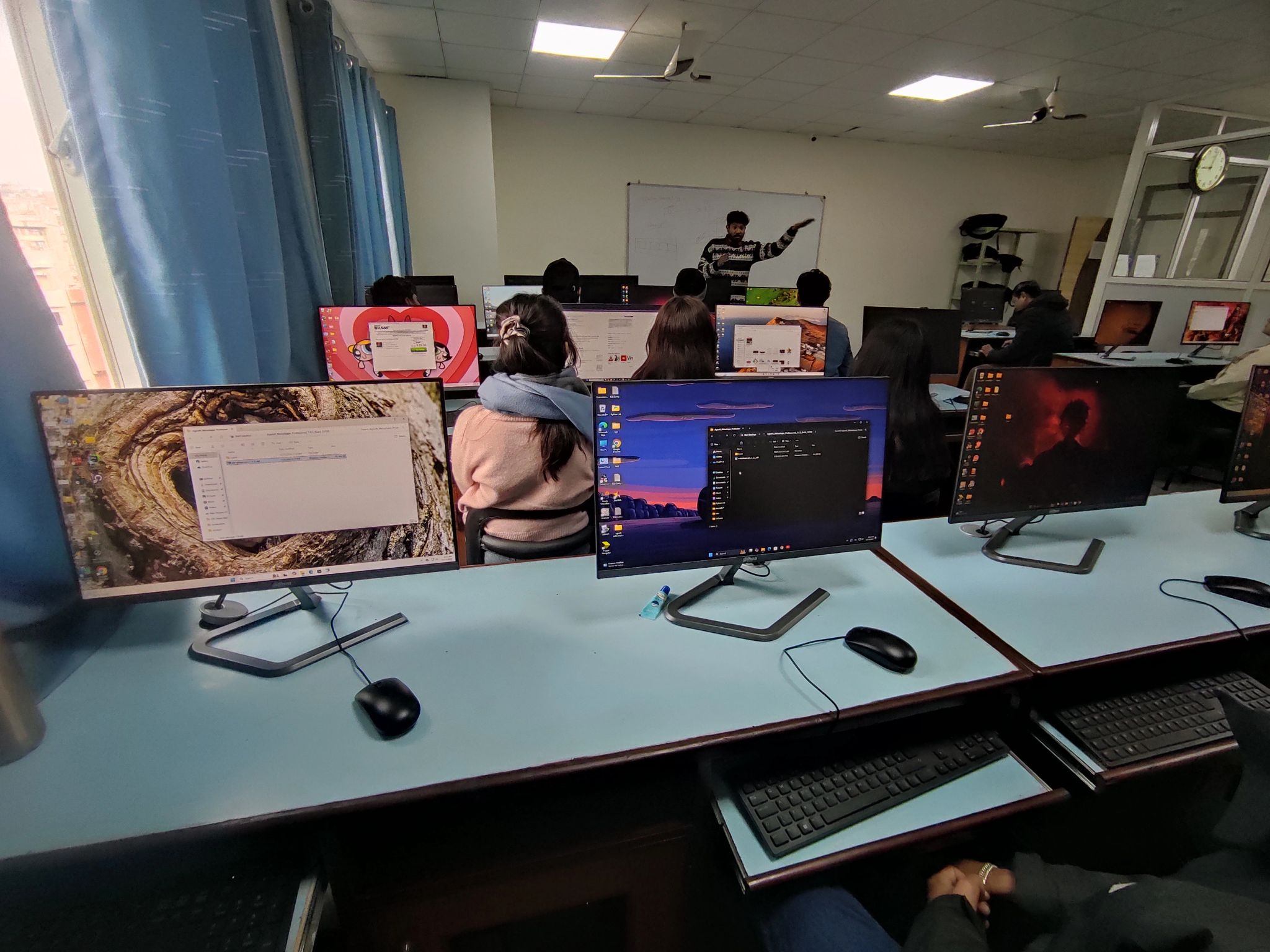
Simplifying complex engineering concepts — photogrammetry, survey methods — into clear teaching sessions, documentation, and accessible technical blogs.
 2025
2025
Estimation and Surveying
Led infrastructure estimation, prepared BOQs, executed corridor project costing, and conducted site surveys
 2025
2025
Research & Mapping
Conducted drone photogrammetry, developed 3D models, supported research, and mentored students
 2024
2024
Engineering Firm
Updated engineering drawings, performed site surveys, assisted in project coordination, and supported design tasks
 2026
2026
Enumerator
Conducted field data collection as an Enumerator for the National Economic Census (Rastriya Arthik Ganana)

 Research
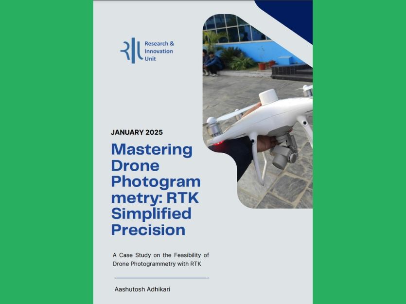
A Case Study on the Feasibility of Drone Photogrammetry with RTK
Read Article